Many of our weekend Club meets are multi activity events, including both walking and climbing, and the format is usually very flexible; sometimes involving organised groups, but also small informal teams setting out on their own adventures. We also run organised day walks on an ad-hoc basis throughout the year, plus an evening walk series throughout the summer. Below you will find details of our Club day and evening walking meet plans. To see our weekend meet plans, see the Events Calendar.
This page also contains a selection of walks recommended by our members. A wider selection of recommended walks is available to FMC members by logging in to the member’s area of the website. You will also need to log in to get meet-leader contact details.
Please note that everyone participating in FMC Club activities, or using the information provided on this site, do so at their own risk. Walking groups must take full responsibility for their route plan and navigation, ensure they are fit enough, sufficiently well-equipped and have made adequate provision for emergencies. Please see the BMC Website for guidance: – www.thebmc.co.uk. As a BMC affiliated club, the FMC fully subscribe to the BMC ‘Participation Statement’:
“The BMC recognises that climbing and mountaineering are activities with a danger of personal injury or death. Participants in these activities should be aware of and accept these risks and be responsible for their own actions and involvement”.
Walking Meets Programme (Day Walks & Evening Walks)
We also organise a program of evening walks in the summer months going to places in Lancashire and south Cumbria. Throughout the year we organise day walks these are publicised either in What’s On or by e-mail.
| Date & Time | Sunset/Dusk | Details | Meeting Place | Organiser |
|---|---|---|---|---|
| Tues 2nd May – 7pm | Garstang | Meet 7pm in the main car park in Garstang. W3W https://w3w.co/constants.front.however grid ref SD493454. The walk will be easy – old railway line and fields probably a canal towpath. route dependant on the ground at the moment it is wet and squidgy. The Royal Oak will be near the end of the route back to the car park. Please let me know nearer the time if you are coming. | John & June Wiseman | |
| Tues 20th June – 6pm | LATE | Easegill | Car share from M6 J34 at 6pm Lost John’s Lay-by Leck Fell Lane at 6.30pm https://w3w.co/lousy.slurping.workloads If full, use lay-by 200m further up fell near Leck Fell House. Do not park in passing places. Route uses open access land, but there is a 5 year restriction so : NO DOGS. Seemingly, it is essential for the grouse to live undisturbed until they are beaten out of the heather and shot by tweedy types in the Autumn. | Steve Clark – 07734 157320 |
The walking meets are coordinated by John Wiseman, who is also editor of our regular newsletter ‘What’s On’
Contact : whatson@fyldemountaineeringclub.org
Recommended Walks
The following are a selection of walks recommended by our members, listed by regions most relevant to our members. Members wishing to submit a Recommended Walk should see the details below.
We include GPX files of the routes for those people who use digital mapping, however, we recommend that electronic devices are not relied on as the sole source of navigation information.
Fylde & Bowland Walks :
North Lancashire & North West Yorkshire Walks :
South of the Ribble :
Lakeland Walks :
Other England Walks :
Scotland Walks :
Wales Walks:
Other Areas :
Snowdonia :
Submitting a ‘Recommended Walk’ (for use by Members Only)
Members wishing to nominate a walking route for inclusion should:
- Ensure that routes in England and Wales use only public footpaths and / or CROW Access Land
- Describe the walk using the standard description template below – preferably as a Microsoft ‘WORD’ or Plain text file format.
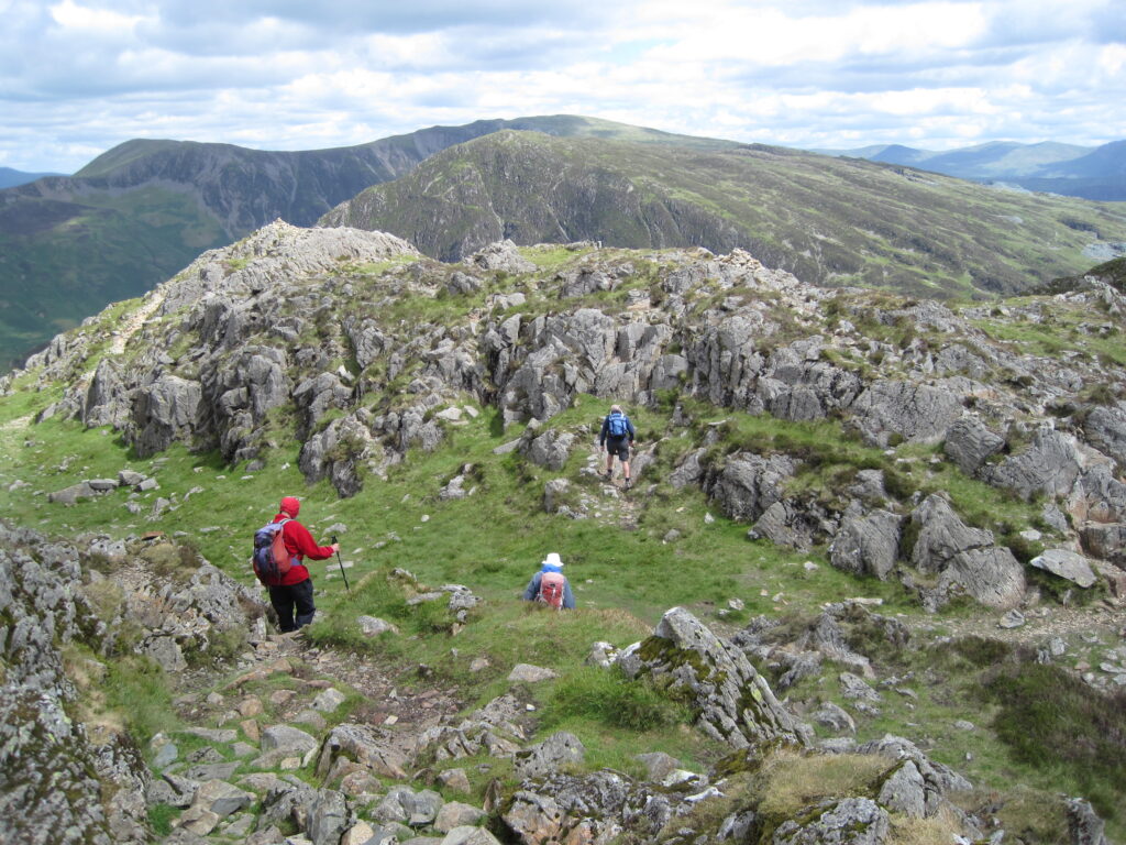
- Include a few ‘characterful’ photos taken on the route.
- Include a GPX file of the route. This is generated automatically if the route is plotted on the ‘OS Maps’ or similar computer mapping application. If access to such technology is not available send a scanned or photocopied picture of the route map to the walking coordinator and the information will be generated for you.
Send the information to the ‘What’s On’ Editor (select ‘Membership’ tab then ‘Current Committee’ for contact details).
Walk Description Template
See some of the current walks for examples
Title*: (Ideally a short snappy phrase which evokes the nature of the walk)
Summary*: (A short summary of the route, noting any highlights or points of interest).
Distance*:(in kilometers and miles)
Duration*: (approximate duration in hours, excluding stops – we recommend assuming an average speed of 4kph plus 1minute for every 10m height gain)
Total Ascent*: (total ‘uphill’ height gain, this is calculated automatically if the route is plotted on the ‘OS Maps’ or similar computer mapping application. If access to such technology is not available, send a scanned of the route map to the walking coordinator and the information will be generated for you)
Terrain and Obstacles*: (A summary of the types of surfaces walked e.g. boggy moors, rough tracks, woodland etc. and any problem areas e.g. exposed ridges, steep scree, diverted paths etc.)
Parking: (Possible parking locations, identified by Name, OS grid reference and by a ‘What 3 Words’ locator.)
Refreshments: (Location of any nearby cafes, pubs etc)